
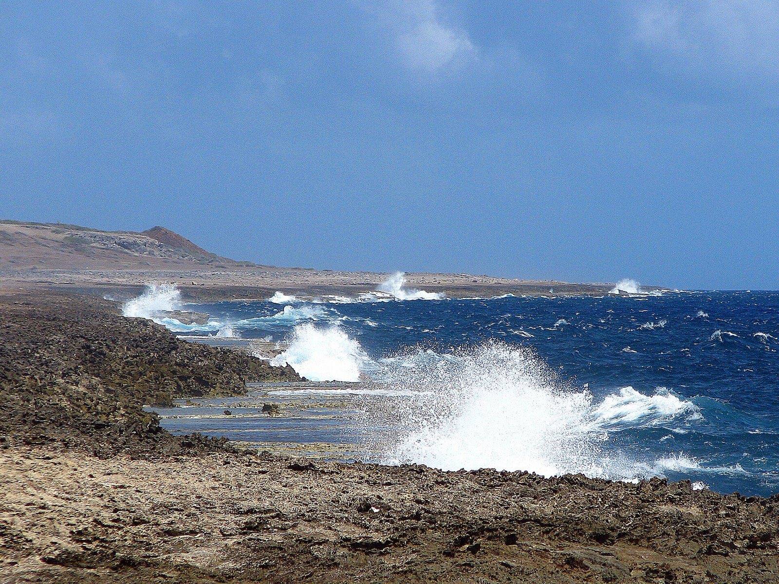
Curaçao sits on the southern edge of the Atlantic hurricane belt. The season runs from 1 June to 30 November, with most activity from August to October. The Meteorological Department Curaçao counts more than 37 tropical cyclones passing within 100 nautical miles of the island between 1605 and 2024, about one every 11 years, and no hurricane or tropical storm has ever made direct landfall. When a storm does reach the island, it usually arrives as rain, swell and gusts from a system passing to the north.
It is the question many travellers ask right after booking autumn flights and then reading the words hurricane season. The good news is that the answer does not depend on opinion. The Meteorological Department Curaçao, the island's official weather service, has published its storm record and its reasoning, and this guide sets them out plainly, with the sources at the end so you can check every line.
I.When is hurricane season in Curaçao?
The Atlantic hurricane season runs from 1 June to 30 November, and Curaçao keeps the same calendar as the rest of the basin. The Meteorological Department Curaçao (MDC) places the most active stretch from August to October. Its longer study of the Dutch Caribbean adds that across the whole Atlantic the daily peak falls around 10 September, and that some seasons start before June or run past November.
Those are basin dates. They describe when storms form somewhere between the coast of Africa and the Gulf of Mexico, not when they reach this island, which most of them never do.
SourceMDC, climate, MDC, Hurricanes and Tropical Storms in the Dutch Caribbean (2018).
II.Is Curaçao in the hurricane belt?
On the edge of it. Travel writing often says Curaçao lies outside the belt. The island's weather service is more careful. Its 2018 study says that Aruba, Bonaire and Curaçao lie on the southern fringe and are not outside the hurricane belt, as many consider.
Its current climate page describes the same position as the southern edge of the Atlantic hurricane region, where direct impacts are rare compared with islands further north.
The MDC gives four reasons the ABC islands see so few storms:
- Latitude. At 12 to 13 degrees north the islands sit below the usual storm tracks, which tend to curve northward before reaching them.
- Cool water. The trade winds drive an upwelling of colder water along the Venezuelan coast, and colder water suppresses storm development.
- Dry air. The South American mainland, about 60 kilometres away, leaves less humidity for a storm to feed on.
- Sinking air. The meeting of sea and land breezes produces subsiding air that holds back the towering clouds a storm needs.
On the edge of the belt, not outside it: rare, but not never.
SourceMDC, climate, MDC, 2018 study.
III.How often do storms come close?
The MDC record covers more than four centuries. From 1605 through 2024 it counts 37 or more tropical cyclones whose centre passed within 100 nautical miles of Curaçao, about 185 kilometres. That works out to roughly one every 11 years. In the same record, no hurricane and no tropical storm made direct landfall on the island.
You may meet a different figure elsewhere. The MDC's 2018 study says that on average a tropical cyclone passes within 150 kilometres once every four years, mostly to the north and without severe weather. The two figures come from different editions and do not agree with each other. The climate page is the newer of the two, so it is the one we lead with, but we show you both rather than hide the difference.
SourceMDC, climate, MDC, 2018 study.
IV.The storms that mattered
These are the systems the MDC singles out in its published record. Distances and effects are given as the MDC reports them.
| Date | System | Closest approach | What Curaçao saw |
|---|---|---|---|
| 23 Sep 1877 | A minor hurricane, remembered as Hurricane Tecla | Just south of the island | About US$2 million in damage, mostly on the Willemstad waterfront. A nunnery was washed away and at least 70 people drowned. |
| 7 Oct 1954 | Hurricane Hazel | About 90 km north | Winds of 50 km/h with gusts to 90 km/h, about 125 mm of rain in 48 hours, and flash floods. |
| 16 Oct 1988 | Tropical Storm Joan | Just south of the islands | Roofs blown off, harbour and beach facilities damaged, then several days of flooding. About US$1.5 million in damage. |
| 25 Jul 1996 | Tropical Storm Cesar | Over the island | The closest approach on record. Gusts to 93 km/h and very rough seas; one swimmer drowned. |
| 8 to 9 Sep 2004 | Hurricane Ivan | About 130 km north | A Hurricane Warning was issued. The winds stayed offshore, but the swell battered coastal structures. |
| Sep 2007 | Hurricane Felix | Less than 100 km north | The first storm centre that close in more than a century. Local heavy rain and rough seas. |
| 2008 | Omar, a tropical storm that became a hurricane | Well north | An unusually wide wind field: southwesterly gales, big waves on south and west facing shores, beach erosion. |
| 1 Nov 2010 | Tropical Storm Tomás | About 115 km north | A rain band stalled over the southeast of the island overnight. A couple of deaths and about US$200 million in flood damage. |
| 29 Sep 2016 | Hurricane Matthew | About 190 km north | Heavy rain. On 4 October its swell damaged parts of the south coast, especially Boka Samí. |
| 20 Jun 2017 | Bret, weakened to a tropical wave | Over the island | A sudden burst of wind with some damage; a gust of 90 km/h was measured on Seru Kokori. |
| 29 Jun 2022 | Tropical Storm Bonnie | Close enough for warnings on all three ABC islands | Code red, school closures and curfews. Three to five inches of rain, coastal flooding and beach damage. |
| Jul 2024 | Hurricane Beryl | Well north, through the Windward Islands | Minimal impact on the ABC islands. |
Read down the last column and a pattern appears. Wind has done damage, as the roofs lost to Joan show, but water has done more: rain that stalls over the island, and swell that a storm hundreds of kilometres away pushes onto the coast. The worst flood damage in the modern record came from Tomás, a weakened storm whose centre never came within 100 kilometres.
V.Rain, not wind: the months to know
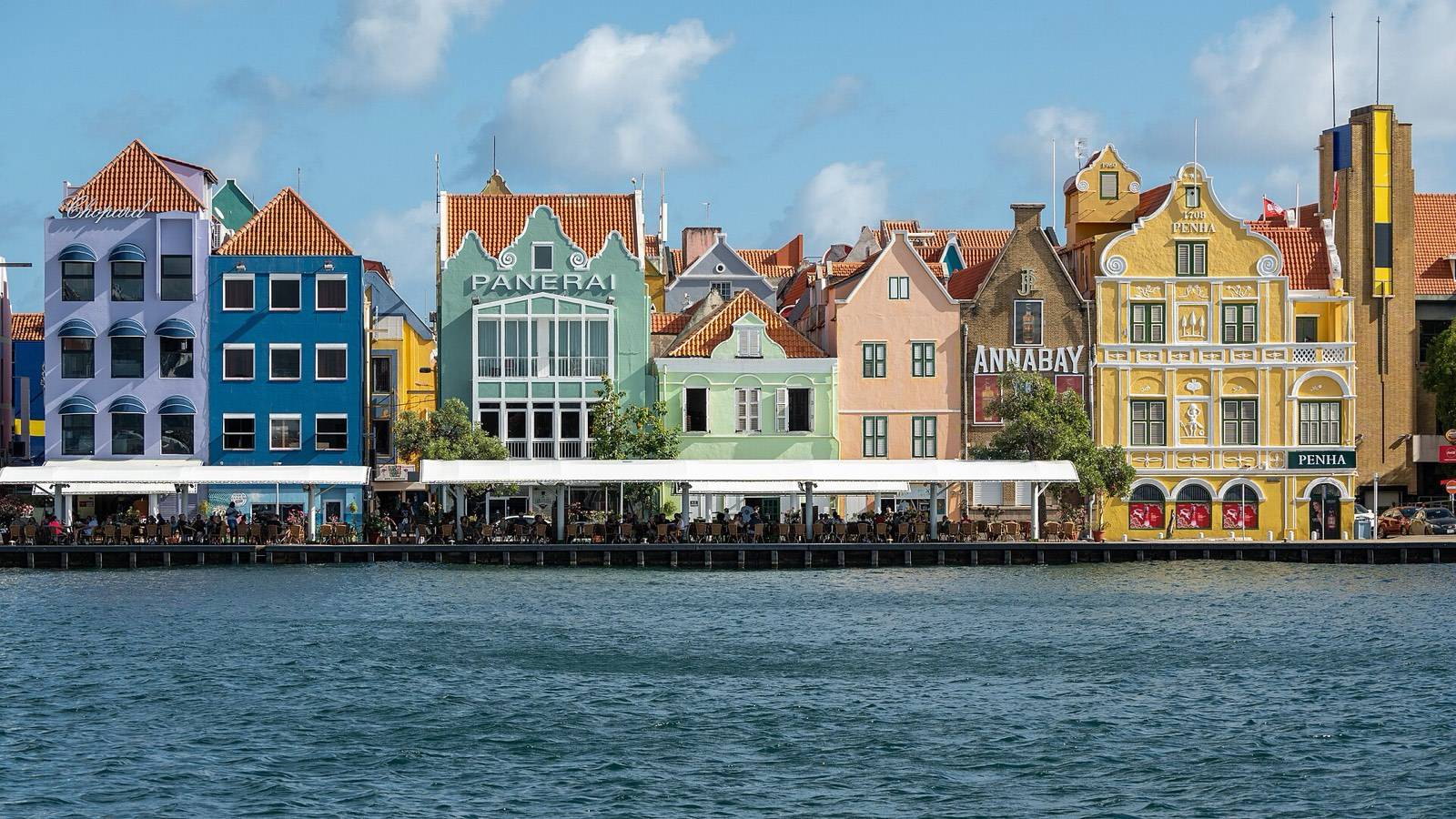
The MDC describes Curaçao as dry for most of the year, with a dry season from February to May and a rainy season from October to January; July to September are transitional months. That puts the wettest part of the year across the second half of hurricane season. Joan came in October and Tomás on 1 November, and both are remembered for their rain.
In practical terms, an October or November stay is more likely to meet a heavy shower than a storm. Our Curaçao weather by month guide has the normals for every month, and the best time to visit Curaçao weighs the weather against crowds and room rates.
SourceMDC, climate.
VI.If a storm is forecast during your stay
The MDC monitors every tropical cyclone that could threaten Curaçao together with the US National Hurricane Center. It begins issuing colour coded Tropical Cyclone Bulletins up to five days (120 hours) before a possible threat, and it asks everyone to follow official messages only.
- Weather: the MDC website at meteo.cw, the Curaçao Weather app and the MDC Facebook page.
- Civil protection: the government's disaster management directorate, Directie Risicobeheersing en Rampenbeleid Curaçao, at kalamidat.cw, and the government's own announcements.
- Everything else: forwarded screenshots and old forecast maps are not warnings. Check the date and the source before you change a plan.
On the water, respect the sea before the sky. The one death the MDC links to Tropical Storm Cesar was a swimmer in rough seas, and the swell from Ivan and Matthew arrived while those storms were far away. If the sea looks rough, choose a different day for the beach. Willemstad makes that easy, and our rainy day guide to Willemstad has the list.
Because the season is real even here, read your travel insurance before you book an autumn trip: what it says about weather disruption, and by when cover has to be bought. Airlines and hotels each set their own rules for named storms, so ask them directly rather than assume.
SourceMDC, 2017 season press release, MDC, 2018 season press release, Kalamidat.
VII.What it means for a stay in Punda
Going by the record above, the realistic hurricane season scenario for a guest in Punda is a wet evening or a day of heavy swell, not a lost holiday. Willemstad is a walking city: the covered lunch counters of Plasa Bieu, the shops of Breedestraat and the cafés of the waterfront are all a few minutes from our door, so a rain day costs far less here than at a remote beach resort. Our page on what is near the hotel maps it out.
Questions travelers ask
Straight answers from the front desk.
Is Curaçao in the hurricane belt?
Has a hurricane ever hit Curaçao directly?
When is hurricane season in Curaçao?
Is November a good time to visit Curaçao?
Where this came from
Listed so you can check us. Every date and number on this page comes from one of these official sources.
Primary and official
- Meteorological Department Curaçao: climateSeason dates, the 1605 to 2024 count, why so few storms reach the ABC islands, Tropical Storm Bonnie and Hurricane Beryl.
- Meteorological Department Curaçao: Hurricanes and Tropical Storms in the Dutch Caribbean (2018, PDF)The 1877 hurricane, Hazel, Joan, Cesar, Ivan, Felix, Omar and Tomás, the southern fringe wording and the basin peak.
- Meteorological Department Curaçao: 2017 hurricane season press release (PDF)Hurricane Matthew, the swell at Boka Samí, and the official channels to follow.
- Meteorological Department Curaçao: 2018 hurricane season press release (PDF)Bret passing over Curaçao in June 2017 and bulletins issued up to five days ahead.
- Kalamidat: Directie Risicobeheersing en Rampenbeleid CuraçaoThe government's disaster management directorate.
Keep exploring
Curaçao weather by month: the only table you need
Curaçao weather by month: a full 12-month table of temperatures, trade winds, sea conditions and rain…
The best time to visit Curaçao: an honest month by month guide
When is the best time to visit Curaçao? A month by month local guide to seasons, crowds, prices and…
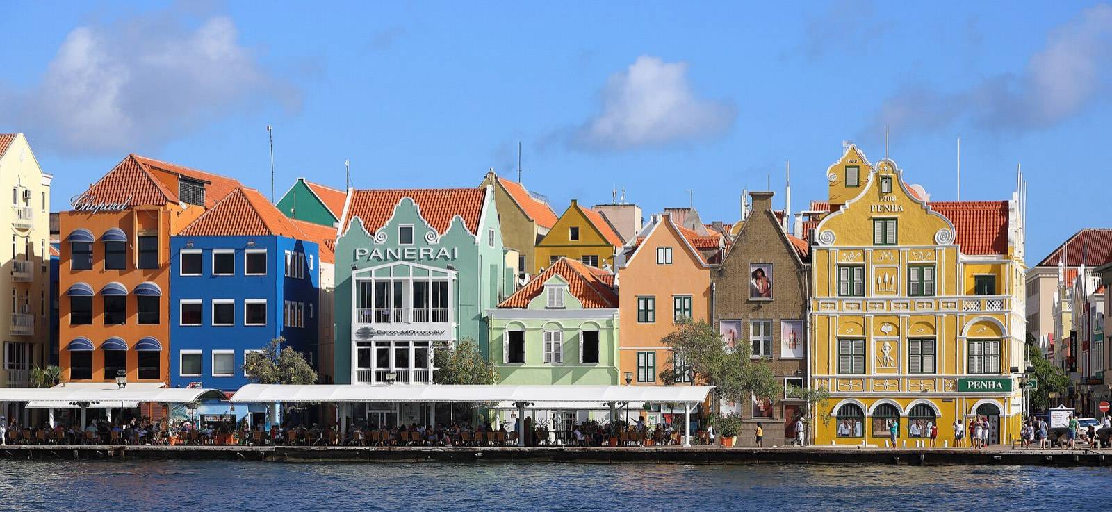
Curaçao travel FAQ: every question, answered straight
Curaçao travel questions answered fast: money, entry rules, rental cars, beach fees, turtles, language,…
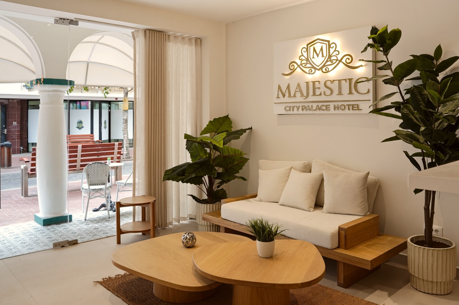
A restored 1892 monument, steps from everything in this guide.
Eighteen boutique rooms across five categories on Breedestraat, Punda. Signature balconies over the main street, and the Van Gogh café pouring espresso downstairs. Reserve your room on Airbnb in a few taps.